Boundary Survey vs Topographic Survey: What’s the Difference?
A common question among homeowners and developers is: what is the difference between a boundary survey and a topographic survey?
In simple terms, a boundary survey defines legal property lines, while a topographic survey shows the physical features and elevations of the land. Most construction and permit projects require one—or both depending on the scope.
What Is a Boundary Survey?
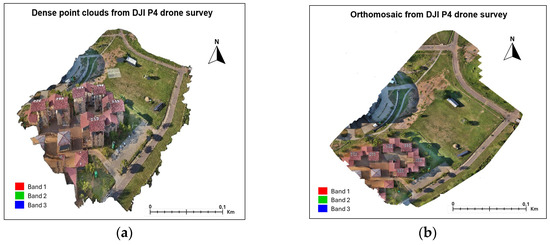
Topographic surveys describe the land as it exists: grade changes, elevation points, contours, and visible features that affect design and construction. AOLS explains that topographic survey plans show existing physical features and are used by engineers and planners to assist detailed design. It also notes these topo plans are often incorporated into design drawings for development applications.
Why people confuse them (and why that causes delays)
Homeowners often request “a survey for my permit,” expecting one document to do everything. In practice, a permit submission is a package: zoning compliance depends on accurate property lines, while grading and design depend on elevations and physical site detail. Toronto Building guidance reflects this reality by requiring site plans that show property lines referenced to a current survey and by requesting grade elevations to confirm height in certain submissions.
Do You Need a Boundary Survey or a Topographic Survey
If you’re not sure whether you need a boundary survey or a topographic survey, it comes down to your goal: choose a boundary survey if you need to define the exact legal limits of your property (for things like fences, purchases, or avoiding disputes), and choose a topographic survey if your project depends on understanding the land’s shape, elevations, and features (for design, grading, or permits). In many construction projects especially in places like Toronto you often need both, since one defines the legal boundaries and the other supports accurate design.
A practical Toronto/GTA example: permit-ready site plans
Toronto’s homeowner guidance distinguishes a property survey from a site plan and explains that site plans are not sealed by a surveyor and are required in addition to a property survey. This is a critical planning insight: your designer may draft the site plan, but the underlying boundary information must be defensible, and topography may be required for accurate height/grade calculations.
Pro Tips
- When booking a survey, clearly state the intended use—such as permit drawings, grading design, fence placement, or property purchase. This helps ensure you get the right type of survey from the start.
- If your designer is preparing a site plan, confirm whether they need elevation data and whether the boundary information is up to date. Outdated or mismatched data is a common cause of delays and revisions.
- If your project requires both topographic data and property lines, work with a licensed professional who can provide a coordinated dataset. This avoids inconsistencies and saves time during design and approvals.
In Toronto, building permit submissions typically rely on current survey information to establish property lines, and may also require elevation data to verify grading and height compliance. Using accurate boundary and topographic data from the beginning can significantly reduce review time and prevent costly revisions.Go to What Is a Boundary Survey and When Do You Need One in Ontario?
Request a quote today and get the right survey for your project. Our team will connect you with licensed professionals who deliver accurate boundary and topographic surveys so you can move forward with confidence.