
If you’ve ever looked at a property survey and felt completely lost, you’re not alone. Most homeowners in Toronto only see one when they’re buying a house, planning a renovation, or dealing with a fence issue. At first glance, surveys can look overly technical full of measurements, symbols, and lines that seem impossible to understand. But once you know what to look for, a property survey becomes much easier to read.
What Is a Property Survey?
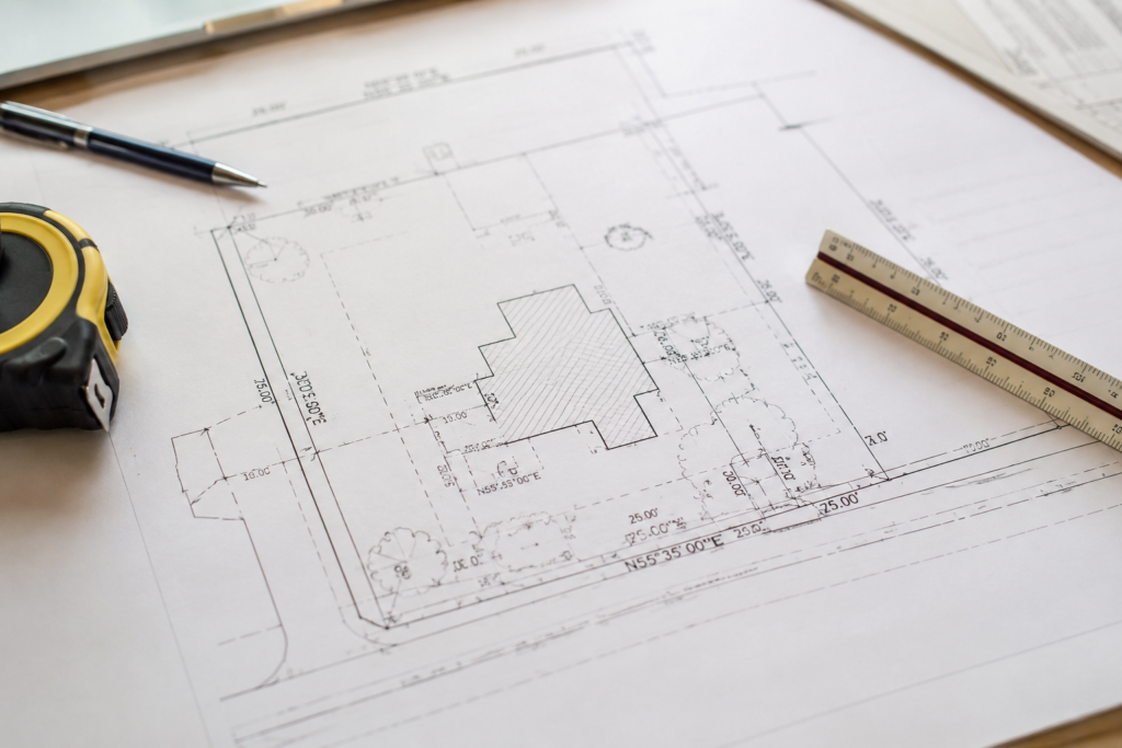
A property survey is a legal drawing prepared by a licensed Ontario Land Surveyor. It shows the exact boundaries of a property and identifies important features on the land, including the house, garage, driveway, fences, easements, and other structures. In Toronto, surveys are especially important because many homes sit very close together, particularly in older neighborhoods where lot lines can become confusing over time.
Understanding Property Boundaries
One of the first things you’ll notice on a survey is the property boundary. These lines define the legal limits of the land you own. Many homeowners assume their fence automatically marks the exact property line, but that is not always true. In fact, boundary disputes often happen because fences, sheds, or driveways were installed without confirming the actual lot dimensions. The measurements shown along the boundary lines are precise legal measurements. They indicate the width and depth of the property and help surveyors establish exactly where structures are positioned in relation to neighboring lots. This information becomes extremely important before building anything new, especially in Toronto where zoning bylaws regulate how close structures can sit to property lines.
Why Easements Matter
Another important section of the survey involves easements. An easement gives another party the legal right to use a portion of your property for a specific purpose. Utility companies, for example, may have access rights for hydro lines, drainage systems, or underground infrastructure. Many homeowners overlook easements entirely until they discover they cannot build in a certain area of their property. On most surveys, easements are clearly marked and labeled, making them easier to identify once you know where to look.
What Is an Encroachment?
You may also come across the term “encroachment.” This refers to a structure that crosses over a legal property boundary.Common examples include fences, decks, garages, or driveways extending onto neighboring land. Encroachments are more common in Toronto than many people expect, particularly in older residential areas where renovations and additions have accumulated over decades. A survey is often the only reliable way to identify these issues before they turn into legal disputes.
Reading Structures on a Survey
The survey will also show the location of existing structures on the property. Houses, garages, porches, sheds, and decks are typically outlined and labeled. Surveyors include measurements showing how far these structures sit from the lot lines. This information is critical when applying for permits or planning renovations because the City of Toronto enforces minimum setback requirements for most structures. Before starting any construction project, homeowners should confirm that proposed work complies with local zoning regulations Need professional land surveying services in Toronto? Read our guide here.
Understanding Survey Symbols and Abbreviations
Some surveys can appear intimidating because of the abbreviations and technical markings used throughout the drawing. Terms like “IB” for Iron Bar or “SIB” for Standard Iron Bar are commonly used by surveyors to identify boundary markers. While these symbols may seem confusing at first, they follow standard surveying conventions used across Ontario. Once homeowners become familiar with a few common abbreviations, reading a survey becomes much easier.
Why Older Surveys Can Be Problematic
One mistake many homeowners make is relying on an outdated survey. A survey created twenty or thirty years ago may no longer reflect the current condition of the property. Fences may have been replaced, additions may have been built, or landscaping may have changed significantly over time. Even though the legal boundaries themselves usually remain the same, the physical features on the property can change considerably. For that reason, updated surveys are often recommended before major renovations, home purchases, or construction projects.
Tips for Reviewing Your Property Survey
A good way to better understand a survey is to physically walk around the property while reviewing the document. Compare the fence locations, driveway, and structures to what appears on the drawing. Doing this often helps homeowners recognize discrepancies they may never have noticed otherwise. If anything seems unclear or inconsistent, consulting a licensed Ontario Land Surveyor is always the safest option.
Final Thoughts
A property survey is more than just a technical document. It’s a tool that helps protect homeowners by clearly defining property boundaries and identifying legal restrictions that may affect future projects. In a city like Toronto, where properties are closely spaced and zoning regulations are strict, understanding even the basics of a survey can help homeowners avoid costly mistakes, disputes, and construction delays in the future.